

Property layout planning for buildings, access and outdoor space
What a property layout must resolve
A property layout is the working arrangement of buildings, access points, parking, paths, landscape, drainage, utilities and open space on a site. It normally comes before detailed architecture because it tests whether a project can satisfy zoning limits, code expectations, day-to-day use and long-term maintenance. A good layout does more than place a building on a parcel. It coordinates movement, safety, services, sunlight, water and future flexibility in one plan.
For owners, architects and developers, early layout planning reduces risk. A floor plan may look efficient, yet still fail at the site level if the building sits too close to an easement, blocks emergency access, creates unsafe pedestrian crossings, ignores stormwater flow or leaves no practical utility route. Good building layout thinking therefore starts at the property scale, not only at the room scale.
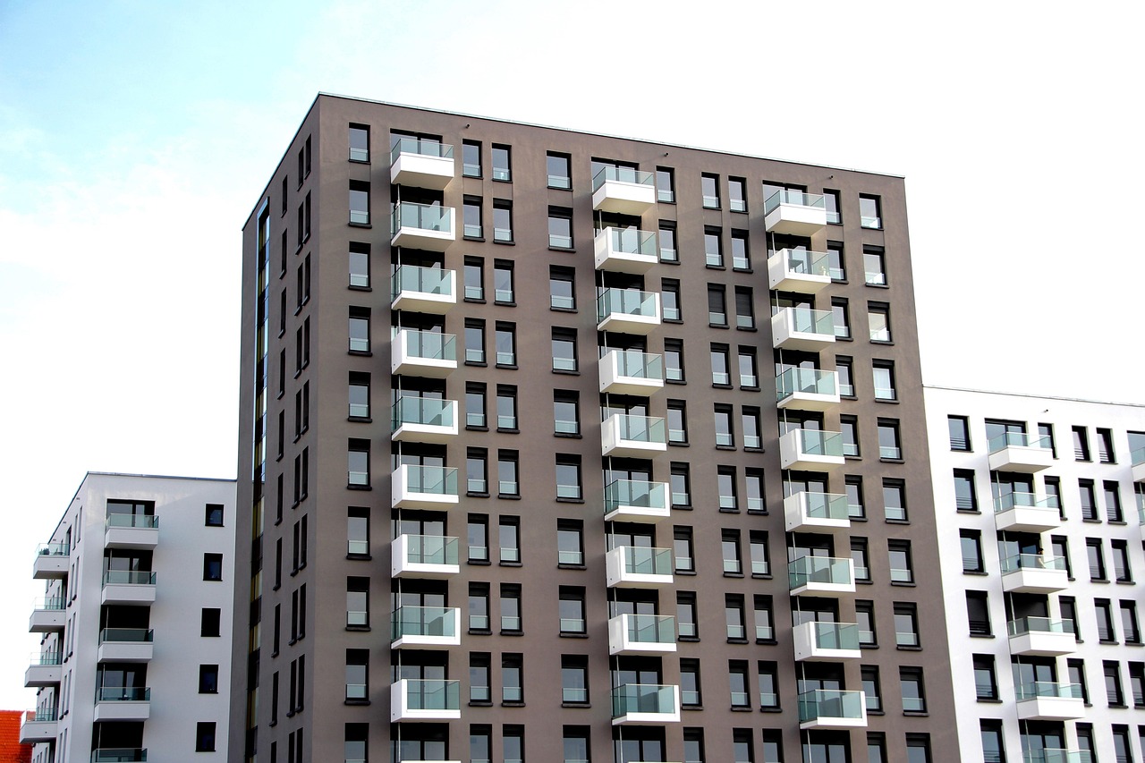
Public guidance from municipal planning departments, the U.S. Environmental Protection Agency, ADA.gov and FEMA points to the same practical issue: site decisions are connected. Parking affects impervious surface. Building position affects drainage and daylight. Access routes affect accessibility and emergency response. Landscape can serve as visual amenity, stormwater infrastructure and circulation buffer at the same time.
Start with constraints that cannot be designed around
The first stage of property layout planning is not drawing an attractive diagram. It is identifying the fixed or high-impact constraints that shape every later decision. These typically include property boundaries, topography, easements, setbacks, zoning district rules, existing structures, protected trees, utility corridors, floodplain conditions, driveway limits and adjoining streets.
Municipal site plan requirements often ask applicants to show boundaries, roadways, setbacks, easements, topography, existing and proposed structures, parking, circulation, drainage and landscape areas. These items are not just administrative details. Each one can change whether a preferred building location is buildable. An easement, for example, may prevent construction in the most convenient service zone, while a steep grade can make a short pedestrian route expensive or inaccessible.
Flood risk should be reviewed early, especially on sites near mapped flood hazard areas, coastlines, rivers or low-lying drainage paths. FEMA materials describe flood-resistant construction using concepts such as special flood hazard areas, base flood elevation, lowest floor elevation and flood-resistant materials. The design implication is straightforward: flood information should not be treated as a late engineering correction. It may influence building placement, finished floor elevation, access grades, parking location and the feasibility of below-grade spaces.
At this stage, the most useful deliverable is a constraint map. It should distinguish between hard constraints, such as legal boundaries and recorded easements, and design-sensitive constraints, such as views, sun exposure, noisy edges, mature trees or likely stormwater flow paths. This map gives the team a practical basis for comparing layout options.
Place buildings before refining rooms
Building placement is the anchor decision in a property layout. It affects frontage, privacy, entry sequence, outdoor space, circulation distance, fire access, service access, energy performance and future expansion. A common mistake is to refine the internal floor plan before confirming that the building mass sits correctly on the site.
For residential projects, placement often balances street presence, private outdoor space, garage access, solar orientation and neighbor privacy. For commercial or mixed-use sites, the decision may involve visibility from the street, customer arrival, loading areas, pedestrian frontage and the relationship between parking and entrances. For institutional or campus projects, the layout may also need to support phased growth and multiple pedestrian desire lines.
Orientation matters as well. A layout that considers daylight, prevailing winds and shading can improve comfort and reduce design compromises later. This does not mean every building must face one ideal direction. It means the site plan should avoid preventable conflicts, such as large blank walls facing public edges, service yards occupying the most valuable outdoor space, or main entrances hidden behind parking and drive aisles.
Setbacks should be treated as more than minimum distances. The space between a building and a property line can serve several functions: landscape buffer, drainage swale, pedestrian route, emergency access, maintenance zone or outdoor amenity. If these roles are not assigned early, leftover edges can become unusable strips that are too narrow for landscape, too constrained for utilities and too exposed for occupants.
Plan access, circulation and parking together
Access is one of the clearest tests of whether a property layout works. A site needs logical arrival, safe pedestrian movement, efficient vehicle circulation, service access and emergency response routes. These systems should be coordinated from the start, not layered onto the plan one after another.
In the United States, ADA standards require accessible routes in facilities covered by the standards, including routes from site arrival points such as accessible parking, passenger loading zones, public sidewalks and transit stops to accessible building entrances. The standards also address accessible parking quantities, access aisles and the relationship between parking and accessible entrances. The planning lesson is that accessibility is a site layout issue, not only a doorway or ramp detail.
Vehicle circulation should minimize conflict points. Clear drive aisles, visible crossings, logical drop-off locations and separated service areas reduce confusion. Where pedestrians must cross vehicle routes, the layout should make crossings short, visible and direct. A long accessible route that winds around parking may technically connect the required points, but it often signals that the site was designed for cars first and people second.
Parking should be sized and placed according to actual use, local requirements and urban context. Excess parking can consume valuable land, increase impervious surface and push buildings away from streets or open space. Too little parking, or poorly located parking, can create operational problems. The right answer depends on land use, transit access, shared parking opportunities, delivery needs and local zoning rules.
- Place primary entrances where users naturally arrive. The shortest path should usually be the clearest path.
- Separate service and public movement where practical. Loading, waste collection and maintenance should not dominate the main arrival sequence.
- Keep emergency access visible in early diagrams. Fire lanes, turning needs and hose reach can reshape a site plan.
- Design accessible routes as primary routes. They should feel integrated, not like secondary compliance paths.
Design drainage, landscape and services as one system
Drainage is often treated as a technical layer added after the architectural concept. That approach can force awkward detention areas, unnecessary grading or expensive underground systems. A better property layout uses the natural direction of water movement as a design input from the beginning. See also: Building Styles.
The U.S. Environmental Protection Agency’s green infrastructure guidance emphasizes that stormwater strategies should be tailored to site-specific conditions and can include rain gardens, permeable pavements, planter systems, green roofs and conservation of natural areas. For layout planning, the important point is not that every site needs the same green infrastructure feature. It is that impervious surfaces, landscape areas and drainage paths should be planned together.
On many sites, the largest impervious surfaces are roofs, parking lots, drive aisles and sidewalks. Their location controls where runoff is generated and where it can be slowed, stored, filtered or conveyed. If all landscape is pushed into decorative edges, the site may have little practical space left for stormwater management. Distributed planting areas, connected soil volumes and well-placed low points can allow landscape to do functional work.
Utilities also need early space. Water, sewer, power, gas, communications, fire service lines, transformers, meters and backflow devices all have physical footprints and access requirements. If these elements are ignored until late design, they can weaken the layout by occupying entry plazas, landscape buffers or pedestrian routes.
Maintenance belongs in the same discussion. A courtyard that cannot be reached by maintenance staff, a rain garden without a sediment control strategy or a utility area that blocks pedestrian visibility can create long-term problems. The strongest layouts make technical systems legible and serviceable without allowing them to dominate the user experience.
Compare common property layout patterns
No single property layout pattern fits every parcel. The right arrangement depends on density, use, street context, climate, topography and project goals. Comparing common patterns helps teams understand trade-offs before committing to a site plan.
| Layout pattern | Typical strength | Common limitation | Best suited for |
|---|---|---|---|
| Street-facing building with rear parking | Creates a stronger public edge and shorter pedestrian connection from sidewalk to entrance | May require careful service routing and rear access management | Urban infill, retail, small offices and mixed-use streets |
| Central building with perimeter circulation | Can simplify emergency access and create clear separation from property edges | May weaken street presence and fragment outdoor space | Standalone commercial, civic and institutional sites |
| Courtyard or cluster layout | Creates protected outdoor space and can support community interaction | Requires careful attention to fire access, privacy and service routes | Housing, campuses, hospitality and care facilities |
| Linear layout along a slope or corridor | Responds well to narrow parcels, views, transit corridors or topography | Can produce long travel distances if entries are poorly placed | Hillside sites, transport-oriented sites and elongated parcels |
This comparison is not a ranking. It is a decision tool. A street-facing building may be appropriate for a walkable commercial corridor but unsuitable where noise, security or flood elevation pushes the building farther back. A courtyard may create strong outdoor amenity, but it can fail operationally if service vehicles must cross the main pedestrian space. The best layout is the one that resolves the project’s real constraints with the fewest hidden conflicts.
A practical property layout checklist
Before moving from concept layout to detailed design, review the site plan against a checklist that combines regulatory, functional and experiential questions. This helps reveal whether the layout is genuinely coordinated or only visually complete.
- Boundaries and controls: Are property lines, easements, setbacks, zoning limits and known restrictions shown accurately?
- Building placement: Does the building location support access, daylight, privacy, frontage, servicing and future flexibility?
- Entrances: Are primary entrances visible from natural arrival points, including sidewalks, parking and drop-off areas?
- Pedestrian routes: Are walking routes direct, safe, accessible where required and protected from unnecessary vehicle conflict?
- Vehicle circulation: Can cars, delivery vehicles, waste collection and emergency vehicles move without confusing or unsafe maneuvers?
- Parking: Is parking located to support the use without overwhelming the site or consuming the best outdoor areas?
- Stormwater: Does the layout reduce unnecessary impervious area and reserve practical space for drainage or green infrastructure?
- Utilities: Are service corridors, meters, transformers, fire service and maintenance access integrated rather than leftover?
- Outdoor space: Are open areas shaped for real use, shade, comfort and connection rather than simply remaining after construction zones are drawn?
- Phasing: If the project may expand, does the layout protect logical future building areas and circulation routes?
The checklist should be used with local review requirements, not as a substitute for them. Zoning ordinances, building codes, accessibility rules, fire department criteria and stormwater standards vary by jurisdiction. Early consultation with qualified local professionals and authorities can prevent layout decisions that look efficient but cannot be approved.
Frequently asked questions
What is the difference between property layout and building layout?
Property layout organizes the entire site, including buildings, access, parking, landscape, drainage, utilities and open space. Building layout focuses on the arrangement of rooms, structure, circulation and functions inside the building. The two should develop together, but the property layout usually sets the physical limits and opportunities for the building design.
When should property layout planning begin?
It should begin before detailed architectural design. The earliest concept phase is the right time to test building placement, access, grading, parking, drainage and code-sensitive constraints. Waiting until after a floor plan is fixed can make site problems harder and more expensive to solve.
Does every property layout need professional review?
Most projects benefit from professional input, and many require it for permitting. Architects, civil engineers, landscape architects, surveyors, accessibility consultants and planning professionals may all be involved depending on project scale and jurisdiction. Even small residential projects can be affected by setbacks, easements, drainage rules or driveway requirements.
How can a layout make better use of a small site?
Small sites usually need compact circulation, shared functions and early coordination of utilities and drainage. Reducing unnecessary pavement, placing entrances carefully, using landscape for both amenity and stormwater, and avoiding leftover narrow strips can make a constrained parcel work harder without feeling overfilled.
What is the biggest mistake in property layout planning?
The biggest mistake is treating the site as empty background for a preferred building shape. A durable layout responds to property boundaries, access, water, codes, landscape, services and human movement at the same time. That integrated approach is what turns a parcel into a workable place.